Fields at Healey
Introduction
The photograph on this page of Fields at Healey by Bill Boaden as part of the Geograph project.
The Geograph project started in 2005 with the aim of publishing, organising and preserving representative images for every square kilometre of Great Britain, Ireland and the Isle of Man.

There are currently over 7.5m images from over 14,400 individuals and you can help contribute to the project by visiting https://www.geograph.org.uk
Fields at Healey
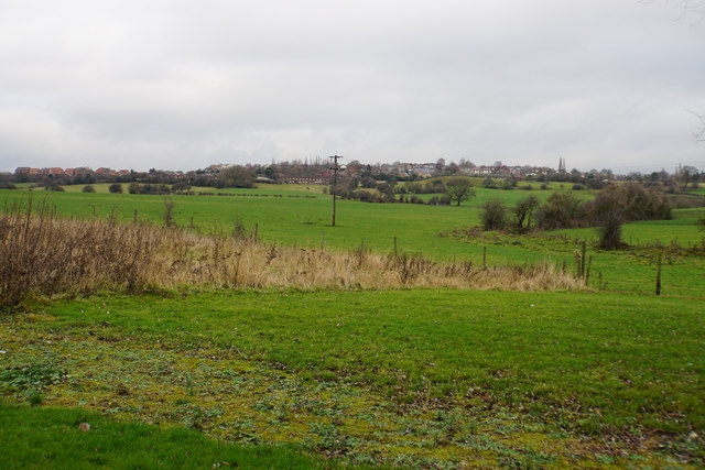
Image: © Bill Boaden Taken: 7 Jan 2017
The land rises up the side of the Calder valley to Ossett which is at the top of the hill. The farmland is used only for livestock, mostly horses although there are some sheep.
Images are licensed for reuse under creativecommons.org/licenses/by-sa/2.0
Image Location
Latitude
53.669121
Longitude
-1.591608