Happy Valley
Introduction
The photograph on this page of Happy Valley by Ian Capper as part of the Geograph project.
The Geograph project started in 2005 with the aim of publishing, organising and preserving representative images for every square kilometre of Great Britain, Ireland and the Isle of Man.

There are currently over 7.5m images from over 14,400 individuals and you can help contribute to the project by visiting https://www.geograph.org.uk
Happy Valley
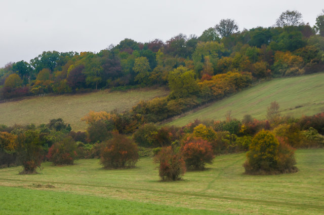
Image: © Ian Capper Taken: 29 Oct 2016
A c.250 acre downland and woodland open space owned and managed by Croydon Council, bought in 1937 by the then Coulsdon and Purley Urban District Council with funding shared equally with the London County Council and Surrey County Council.
Images are licensed for reuse under creativecommons.org/licenses/by-sa/2.0
Image Location
Latitude
51.296409
Longitude
-0.125879