Open ground south of the railway
Introduction
The photograph on this page of Open ground south of the railway by Richard Sutcliffe as part of the Geograph project.
The Geograph project started in 2005 with the aim of publishing, organising and preserving representative images for every square kilometre of Great Britain, Ireland and the Isle of Man.

There are currently over 7.5m images from over 14,400 individuals and you can help contribute to the project by visiting https://www.geograph.org.uk
Open ground south of the railway
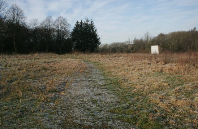
Image: © Richard Sutcliffe Taken: 5 Jan 2017
An area of open ground between a railway line to the north, Robslee Drive to the east, Thornliebank Resource Centre and houses to the south, and Eastwood Cemetery (amongst the trees) to the west. The white board faces the railway and is advertising new homes in Eaglesham and Newton Mearns. Photographed on a frosty January day.
Images are licensed for reuse under creativecommons.org/licenses/by-sa/2.0
Image Location
Latitude
55.808881
Longitude
-4.307745