Old lane to Hermon
Introduction
The photograph on this page of Old lane to Hermon by Natasha Ceridwen de Chroustchoff as part of the Geograph project.
The Geograph project started in 2005 with the aim of publishing, organising and preserving representative images for every square kilometre of Great Britain, Ireland and the Isle of Man.

There are currently over 7.5m images from over 14,400 individuals and you can help contribute to the project by visiting https://www.geograph.org.uk
Old lane to Hermon
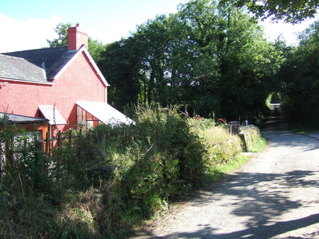
Image: © Natasha Ceridwen de Chroustchoff Taken: 12 Aug 2007
Looking back in the direction of the village, south. The lane, which leads on down into the Taf valley to the north, fords a stream by this house which is called Bwlch-y-dwr/pass over the water.
Images are licensed for reuse under creativecommons.org/licenses/by-sa/2.0
Image Location
Latitude
51.958052
Longitude
-4.610307