Country lane running in the direction of The Border
Introduction
The photograph on this page of Country lane running in the direction of The Border by Eric Jones as part of the Geograph project.
The Geograph project started in 2005 with the aim of publishing, organising and preserving representative images for every square kilometre of Great Britain, Ireland and the Isle of Man.

There are currently over 7.5m images from over 14,400 individuals and you can help contribute to the project by visiting https://www.geograph.org.uk
Country lane running in the direction of The Border
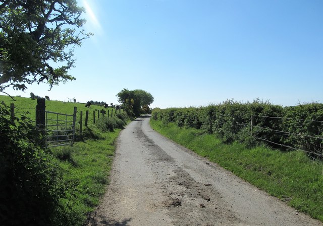
Image: © Eric Jones Taken: 2 Jun 2016
The road is not named on Google Street View, but I believe it to be Upper Darkley Road. The surface of the road suggests that cattle are regularly moved along it between field and milking parlour.
Images are licensed for reuse under creativecommons.org/licenses/by-sa/2.0
Image Location
Latitude
54.201903
Longitude
-6.67019