Footpath to Barrowby
Introduction
The photograph on this page of Footpath to Barrowby by Tim Heaton as part of the Geograph project.
The Geograph project started in 2005 with the aim of publishing, organising and preserving representative images for every square kilometre of Great Britain, Ireland and the Isle of Man.

There are currently over 7.5m images from over 14,400 individuals and you can help contribute to the project by visiting https://www.geograph.org.uk
Footpath to Barrowby
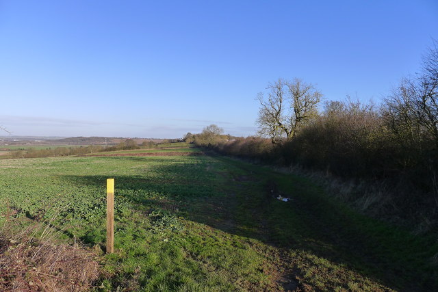
Image: © Tim Heaton Taken: 4 Jan 2017
Looking north-east along the top of the escarpment of the Casthorpe Hills. The village of Barrowby (behind the hedge in the distance) sits on the edge of the Lincolnshire/Leicestershire Wolds, with the escarpment sloping down to the Vale of Belvoir. For the view north-west see Image
Images are licensed for reuse under creativecommons.org/licenses/by-sa/2.0
Image Location
Latitude
52.917613
Longitude
-0.698174