The end of Lee Lane
Introduction
The photograph on this page of The end of Lee Lane by Des Blenkinsopp as part of the Geograph project.
The Geograph project started in 2005 with the aim of publishing, organising and preserving representative images for every square kilometre of Great Britain, Ireland and the Isle of Man.

There are currently over 7.5m images from over 14,400 individuals and you can help contribute to the project by visiting https://www.geograph.org.uk
The end of Lee Lane
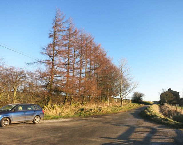
Image: © Des Blenkinsopp Taken: 2 Jan 2017
Lee Lane ends here at the gates to Leeshaw Reservoir. A right of way continues as a track named Bodkin Lane.
Images are licensed for reuse under creativecommons.org/licenses/by-sa/2.0
Image Location


Leaflet Map data © OpenStreetMap
Latitude
53.813802
Longitude
-1.974144