Lea, St. Helen's Church
Introduction
The photograph on this page of Lea, St. Helen's Church by Brian Westlake as part of the Geograph project.
The Geograph project started in 2005 with the aim of publishing, organising and preserving representative images for every square kilometre of Great Britain, Ireland and the Isle of Man.

There are currently over 7.5m images from over 14,400 individuals and you can help contribute to the project by visiting https://www.geograph.org.uk
Lea, St. Helen's Church
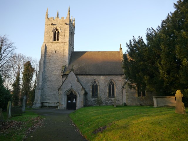
Image: © Brian Westlake Taken: 5 Jan 2017
On the south face of the church tower is a cut bench mark with bolt dating from the primary levelling of a survey line from London to Doncaster in 1848-51. See http://www.geograph.org.uk/photo/5245737 for a close-up and http://www.bench-marks.org.uk/bm30199 for details of the mark.
Images are licensed for reuse under creativecommons.org/licenses/by-sa/2.0
Image Location
Latitude
53.370376
Longitude
-0.753101