Tealby Moor to Risby: aerial 2017
Introduction
The photograph on this page of Tealby Moor to Risby: aerial 2017 by Chris as part of the Geograph project.
The Geograph project started in 2005 with the aim of publishing, organising and preserving representative images for every square kilometre of Great Britain, Ireland and the Isle of Man.

There are currently over 7.5m images from over 14,400 individuals and you can help contribute to the project by visiting https://www.geograph.org.uk
Tealby Moor to Risby: aerial 2017
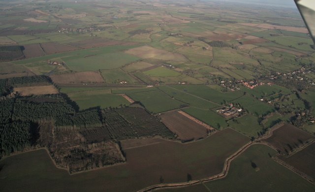
Image: © Chris Taken: 5 Jan 2017
Across Willingham Woods and the B1203 Rasen Road and Tealby Moor to Moor Farm and beyond to Risby Grange and Castle Farm in Image See also Image
Images are licensed for reuse under creativecommons.org/licenses/by-sa/2.0
Image Location
Latitude
53.400158
Longitude
-0.278129