From Quanea Hill to Ely
Introduction
The photograph on this page of From Quanea Hill to Ely by John Sutton as part of the Geograph project.
The Geograph project started in 2005 with the aim of publishing, organising and preserving representative images for every square kilometre of Great Britain, Ireland and the Isle of Man.

There are currently over 7.5m images from over 14,400 individuals and you can help contribute to the project by visiting https://www.geograph.org.uk
From Quanea Hill to Ely
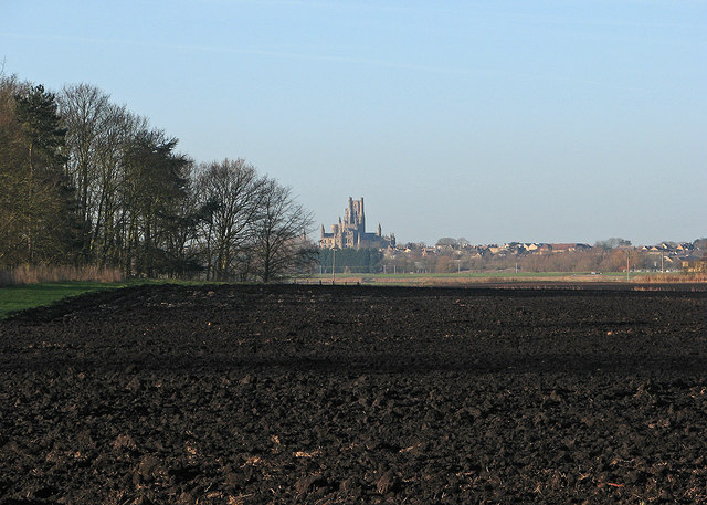
Image: © John Sutton Taken: 5 Jan 2017
Quanea Hill is 6m/20ft above sea level and parts of the City of Ely are just above the 25m/82ft contour line. Both places were islands before the fens were drained, as the -ea and -ey suffixes in fenland place names indicate.
Images are licensed for reuse under creativecommons.org/licenses/by-sa/2.0
Image Location
Latitude
52.394087
Longitude
0.3096