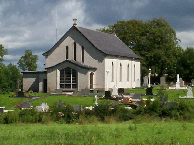
St. Colman's R.C. Chapel and Graveyard, Clare Road near Waringstown.
Introduction
The photograph on this page of St. Colman's R.C. Chapel and Graveyard, Clare Road near Waringstown. by P Flannagan as part of the Geograph project.
The Geograph project started in 2005 with the aim of publishing, organising and preserving representative images for every square kilometre of Great Britain, Ireland and the Isle of Man.
There are currently over 7.5m images from over 14,400 individuals and you can help contribute to the project by visiting https://www.geograph.org.uk

Image: © P Flannagan Taken: 13 Aug 2007
Built in 1805, St. Colman’s Church, Clare, colloquially known as ‘The Clare’, probably emerged as a result of the removal of the Magennis Castle and Chapel towards the end of the 17th century. Although a relatively isolated church, St. Colman’s Clare is adjoined by an extensive graveyard, its size being partly the consequence of the absence of a Catholic cemetery in the nearby village of Gilford. It was extensively renovated in 1967 when the inside of the church was 'turned around' to meet with the liturgical thinking of that era, namely that the people should sit 'around' the altar. The Clare celebrated its bi-centenary on 18th September 2005

