Platt Lane Bridge west of Hollinwood, Shropshire
Introduction
The photograph on this page of Platt Lane Bridge west of Hollinwood, Shropshire by Roger D Kidd as part of the Geograph project.
The Geograph project started in 2005 with the aim of publishing, organising and preserving representative images for every square kilometre of Great Britain, Ireland and the Isle of Man.

There are currently over 7.5m images from over 14,400 individuals and you can help contribute to the project by visiting https://www.geograph.org.uk
Platt Lane Bridge west of Hollinwood, Shropshire
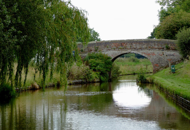
Image: © Roger D Kidd Taken: 18 Sep 2015
Bridge No 43 across the Llangollen Canal. The nearby Waggoners Inn was destroyed by a fire in 2007. The Llangollen Branch of the Shropshire Union Canal starts by the River Dee at Llantysilio and leads to the main line at Hurleston Junction, a distance of 46 miles, with twenty-one locks. Water is supplied from the River Dee to the canal, and on to Hurleston Reservoir, a source of domestic water supplies.
Images are licensed for reuse under creativecommons.org/licenses/by-sa/2.0
Image Location


Leaflet Map data © OpenStreetMap
Latitude
52.923403
Longitude
-2.728942