The Levern Walkway
Introduction
The photograph on this page of The Levern Walkway by Richard Sutcliffe as part of the Geograph project.
The Geograph project started in 2005 with the aim of publishing, organising and preserving representative images for every square kilometre of Great Britain, Ireland and the Isle of Man.

There are currently over 7.5m images from over 14,400 individuals and you can help contribute to the project by visiting https://www.geograph.org.uk
The Levern Walkway
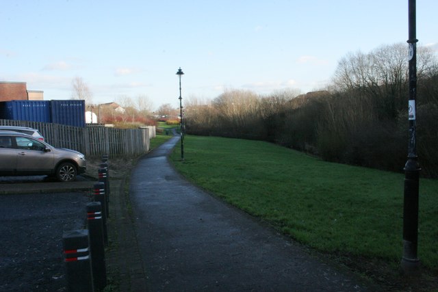
Image: © Richard Sutcliffe Taken: 4 Jan 2017
The footpath follows the Levern Water, which is just visible on the far right. The cars on the left are parked in the 'park and ride' car park close to the railway station.
Images are licensed for reuse under creativecommons.org/licenses/by-sa/2.0
Image Location
Latitude
55.802708
Longitude
-4.395464