Field and bales in the Black Brook Valley
Introduction
The photograph on this page of Field and bales in the Black Brook Valley by Mat Fascione as part of the Geograph project.
The Geograph project started in 2005 with the aim of publishing, organising and preserving representative images for every square kilometre of Great Britain, Ireland and the Isle of Man.

There are currently over 7.5m images from over 14,400 individuals and you can help contribute to the project by visiting https://www.geograph.org.uk
Field and bales in the Black Brook Valley
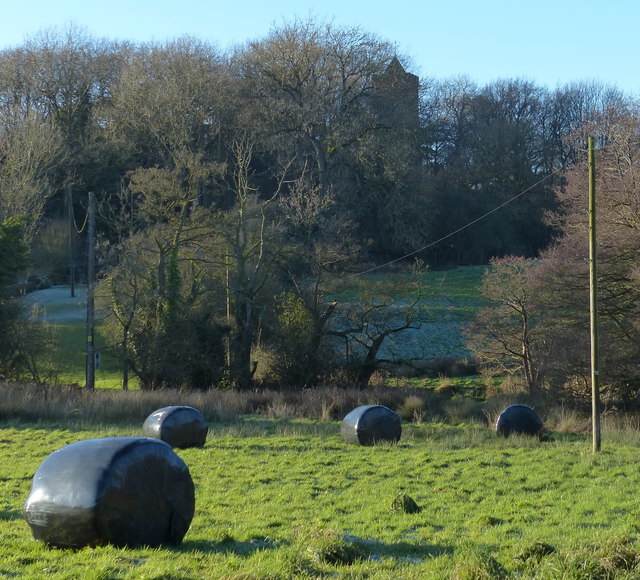
Image: © Mat Fascione Taken: 2 Jan 2017
Partly obscured by the trees is the tower of the Church of St. James the Greater, in the hamlet of Oaks in Charnwood.
Images are licensed for reuse under creativecommons.org/licenses/by-sa/2.0
Image Location


Leaflet Map data © OpenStreetMap
Latitude
52.742242
Longitude
-1.29696