Bournemouth: footpath B03 to West Cliff Road
Introduction
The photograph on this page of Bournemouth: footpath B03 to West Cliff Road by Chris Downer as part of the Geograph project.
The Geograph project started in 2005 with the aim of publishing, organising and preserving representative images for every square kilometre of Great Britain, Ireland and the Isle of Man.

There are currently over 7.5m images from over 14,400 individuals and you can help contribute to the project by visiting https://www.geograph.org.uk
Bournemouth: footpath B03 to West Cliff Road
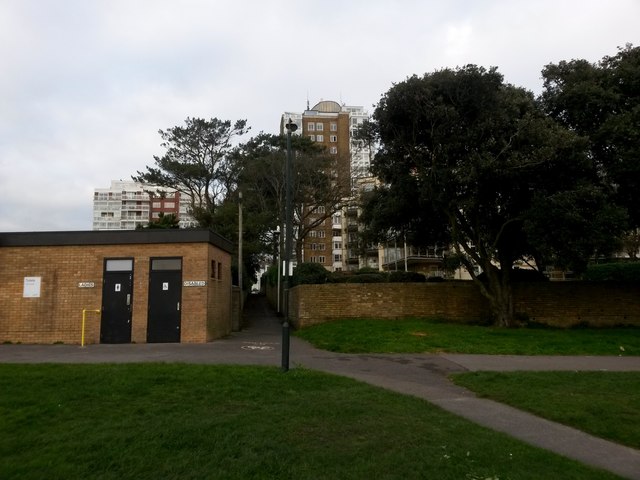
Image: © Chris Downer Taken: 4 Jan 2017
This straight public footpath starts alongside the public toilets, here on the open space on the West Cliff top, through to West Cliff Road. The paved path to our right heads diagonally behind us to the top of the West Cliff Zig-Zag down to the seafront. See Image for the view towards us from a short distance along the path, and Image for the next view northward.
Images are licensed for reuse under creativecommons.org/licenses/by-sa/2.0
Image Location
Latitude
50.715244
Longitude
-1.885359