Building site, Churchfield Way
Introduction
The photograph on this page of Building site, Churchfield Way by John Baker as part of the Geograph project.
The Geograph project started in 2005 with the aim of publishing, organising and preserving representative images for every square kilometre of Great Britain, Ireland and the Isle of Man.

There are currently over 7.5m images from over 14,400 individuals and you can help contribute to the project by visiting https://www.geograph.org.uk
Building site, Churchfield Way
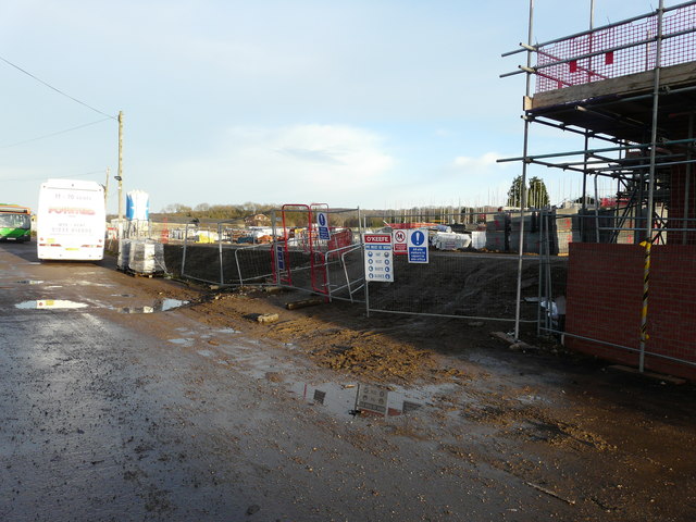
Image: © John Baker Taken: 11 Dec 2016
The development (to be known as Downs View) has been granted planning permission by Ashford Borough Council under application number 14/00362/AS as the “erection of 27 dwellings with access from Churchfield Way, together with associated parking, landscaping and open space”.
Images are licensed for reuse under creativecommons.org/licenses/by-sa/2.0
Image Location


Leaflet Map data © OpenStreetMap
Latitude
51.185875
Longitude
0.93318