Scotch Down, Brede Lane
Introduction
The photograph on this page of Scotch Down, Brede Lane by Oast House Archive as part of the Geograph project.
The Geograph project started in 2005 with the aim of publishing, organising and preserving representative images for every square kilometre of Great Britain, Ireland and the Isle of Man.

There are currently over 7.5m images from over 14,400 individuals and you can help contribute to the project by visiting https://www.geograph.org.uk
Scotch Down, Brede Lane
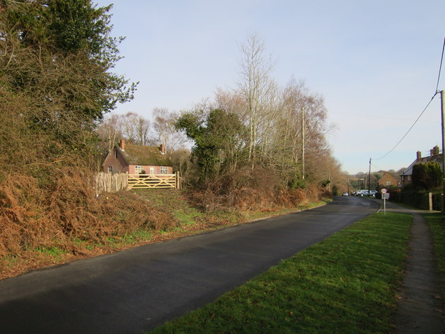
Image: © Oast House Archive Taken: 3 Jan 2017
The derelict house has been hidden in the woods for decades and recently cleared around.
Images are licensed for reuse under creativecommons.org/licenses/by-sa/2.0
Image Location


Leaflet Map data © OpenStreetMap
Latitude
50.93598
Longitude
0.539066