Thornhill Drive, Nuneaton
Introduction
The photograph on this page of Thornhill Drive, Nuneaton by Peter Mackenzie as part of the Geograph project.
The Geograph project started in 2005 with the aim of publishing, organising and preserving representative images for every square kilometre of Great Britain, Ireland and the Isle of Man.

There are currently over 7.5m images from over 14,400 individuals and you can help contribute to the project by visiting https://www.geograph.org.uk
Thornhill Drive, Nuneaton
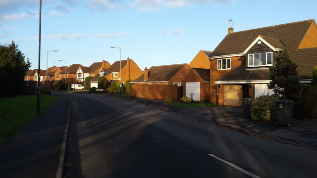
Image: © Peter Mackenzie Taken: 4 Jan 2017
This area is on the rural fringe of Nuneaton. The area is quite prosperous and the photograph captures some of the detached dwellings typical of the district.
Images are licensed for reuse under creativecommons.org/licenses/by-sa/2.0
Image Location
Latitude
52.503171
Longitude
-1.424676