Lisnamintry Rath
Introduction
The photograph on this page of Lisnamintry Rath by P Flannagan as part of the Geograph project.
The Geograph project started in 2005 with the aim of publishing, organising and preserving representative images for every square kilometre of Great Britain, Ireland and the Isle of Man.

There are currently over 7.5m images from over 14,400 individuals and you can help contribute to the project by visiting https://www.geograph.org.uk
Lisnamintry Rath
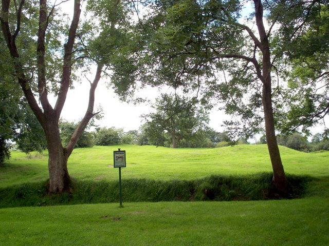
Image: © P Flannagan Taken: 13 Aug 2007
This is the site of an early Christian defended farmstead near Portadown. It is the only Monument in State care in the Borough of Craigavon, protected and managed as a public asset by the Environment and Heritage Service.
Images are licensed for reuse under creativecommons.org/licenses/by-sa/2.0
Image Location
Latitude
54.428319
Longitude
-6.390585