Start of the 30 zone at the northern edge of Broadway
Introduction
The photograph on this page of Start of the 30 zone at the northern edge of Broadway by Jaggery as part of the Geograph project.
The Geograph project started in 2005 with the aim of publishing, organising and preserving representative images for every square kilometre of Great Britain, Ireland and the Isle of Man.

There are currently over 7.5m images from over 14,400 individuals and you can help contribute to the project by visiting https://www.geograph.org.uk
Start of the 30 zone at the northern edge of Broadway
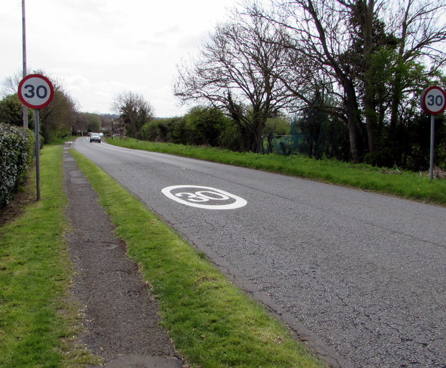
Image: © Jaggery Taken: 1 May 2016
The 40mph speed limit on Leamington Road drops to 30mph.
Images are licensed for reuse under creativecommons.org/licenses/by-sa/2.0
Image Location


Leaflet Map data © OpenStreetMap
Latitude
52.042651
Longitude
-1.856779