Nantcarn Road, Cwmcarn
Introduction
The photograph on this page of Nantcarn Road, Cwmcarn by Jaggery as part of the Geograph project.
The Geograph project started in 2005 with the aim of publishing, organising and preserving representative images for every square kilometre of Great Britain, Ireland and the Isle of Man.

There are currently over 7.5m images from over 14,400 individuals and you can help contribute to the project by visiting https://www.geograph.org.uk
Nantcarn Road, Cwmcarn
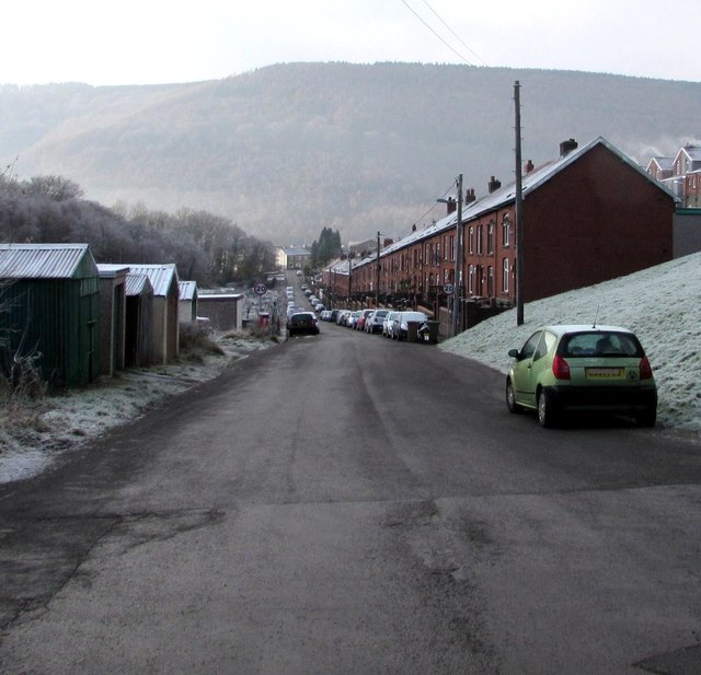
Image: © Jaggery Taken: 29 Dec 2016
Viewed from near the Ramping Road junction looking along Nantcarn Road towards the centre of the village. At 11:30am on December 29th 2016, overnight hoar frost remains on many surfaces.
Images are licensed for reuse under creativecommons.org/licenses/by-sa/2.0
Image Location
Latitude
51.635259
Longitude
-3.126265