Down to Barton Hill
Introduction
The photograph on this page of Down to Barton Hill by Neil Owen as part of the Geograph project.
The Geograph project started in 2005 with the aim of publishing, organising and preserving representative images for every square kilometre of Great Britain, Ireland and the Isle of Man.

There are currently over 7.5m images from over 14,400 individuals and you can help contribute to the project by visiting https://www.geograph.org.uk
Down to Barton Hill
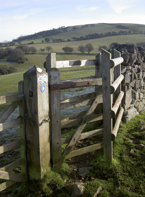
Image: © Neil Owen Taken: 3 Jan 2017
This gate marks the junction of a number of paths. The plaque on it records that it was provided by West Mendip Soaring Association and constructed by National Trust staff in February, 1994.
Images are licensed for reuse under creativecommons.org/licenses/by-sa/2.0
Image Location
Latitude
51.301443
Longitude
-2.866473