East side of former Alice Stevens School, Whitley, southeast Coventry
Introduction
The photograph on this page of East side of former Alice Stevens School, Whitley, southeast Coventry by Robin Stott as part of the Geograph project.
The Geograph project started in 2005 with the aim of publishing, organising and preserving representative images for every square kilometre of Great Britain, Ireland and the Isle of Man.

There are currently over 7.5m images from over 14,400 individuals and you can help contribute to the project by visiting https://www.geograph.org.uk
East side of former Alice Stevens School, Whitley, southeast Coventry
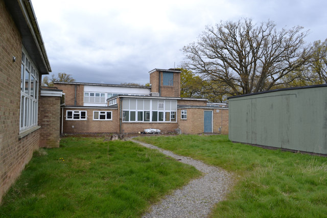
Image: © Robin Stott Taken: 30 Apr 2016
Alice Stevens School is no longer listed as a Coventry school. It was a mixed secondary school for students with special needs. It appears to have been absorbed into the Riverbank Academy in Binley, part of a Multi-academy trust. It is assumed that these buildings are empty. Seen through the fence from a path behind the southern leg of Ashington Grove. The path runs between Whitley Grove and the western leg of Ashington Grove.
Images are licensed for reuse under creativecommons.org/licenses/by-sa/2.0
Image Location
Latitude
52.385856
Longitude
-1.484532