Housing on Wheelwright Lane
Introduction
The photograph on this page of Housing on Wheelwright Lane by Peter Mackenzie as part of the Geograph project.
The Geograph project started in 2005 with the aim of publishing, organising and preserving representative images for every square kilometre of Great Britain, Ireland and the Isle of Man.

There are currently over 7.5m images from over 14,400 individuals and you can help contribute to the project by visiting https://www.geograph.org.uk
Housing on Wheelwright Lane
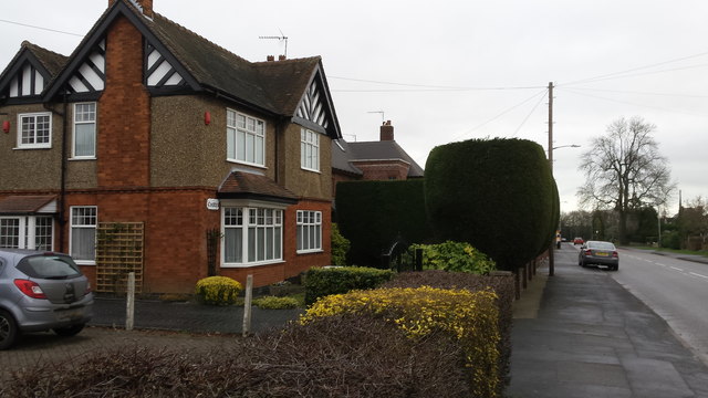
Image: © Peter Mackenzie Taken: 3 Jan 2017
Wheelwright Lane is an arterial route from Coventry city centre to is northern suburbs. Neil's Green is a prosperous area with detached housing of which this picture is an example.
Images are licensed for reuse under creativecommons.org/licenses/by-sa/2.0
Image Location
Latitude
52.45383
Longitude
-1.507725