Diverted path
Introduction
The photograph on this page of Diverted path by Richard Sutcliffe as part of the Geograph project.
The Geograph project started in 2005 with the aim of publishing, organising and preserving representative images for every square kilometre of Great Britain, Ireland and the Isle of Man.

There are currently over 7.5m images from over 14,400 individuals and you can help contribute to the project by visiting https://www.geograph.org.uk
Diverted path
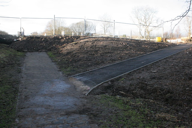
Image: © Richard Sutcliffe Taken: 2 Jan 2017
The original path from the Allander Leisure Centre to the A81 went straight on. At this point the path has been diverted to the right, where the building site for the new housing development by Cala Homes encroaches on the original route.
Images are licensed for reuse under creativecommons.org/licenses/by-sa/2.0
Image Location


Leaflet Map data © OpenStreetMap
Latitude
55.931819
Longitude
-4.31313