Woolpack Lane, Hockley, Nottingham 1
Introduction
The photograph on this page of Woolpack Lane, Hockley, Nottingham 1 by David Hallam-Jones as part of the Geograph project.
The Geograph project started in 2005 with the aim of publishing, organising and preserving representative images for every square kilometre of Great Britain, Ireland and the Isle of Man.

There are currently over 7.5m images from over 14,400 individuals and you can help contribute to the project by visiting https://www.geograph.org.uk
Woolpack Lane, Hockley, Nottingham 1
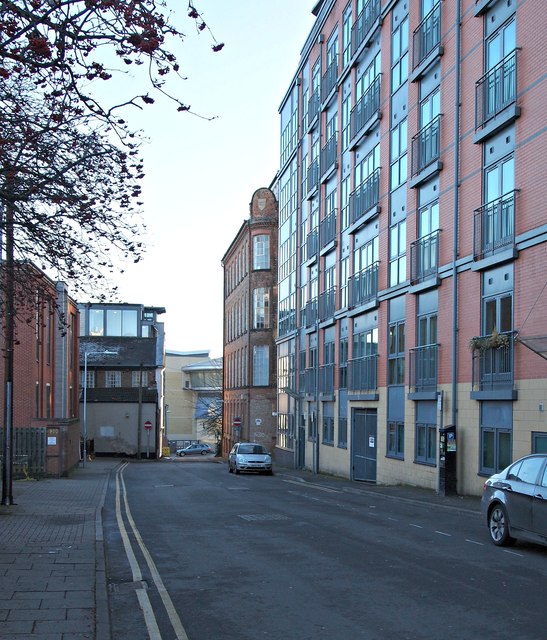
Image: © David Hallam-Jones Taken: 2 Jan 2017
Traffic can longer access the A60 ahead although vehicles can access this one-way street (towards the photographer) from Maiden Lane - to the right, behind the car in the middle of the picture. Woolpack Lane is predominantly residential.
Images are licensed for reuse under creativecommons.org/licenses/by-sa/2.0
Image Location
Latitude
52.953291
Longitude
-1.142315