Local football match, Whitley, southeast Coventry
Introduction
The photograph on this page of Local football match, Whitley, southeast Coventry by Robin Stott as part of the Geograph project.
The Geograph project started in 2005 with the aim of publishing, organising and preserving representative images for every square kilometre of Great Britain, Ireland and the Isle of Man.

There are currently over 7.5m images from over 14,400 individuals and you can help contribute to the project by visiting https://www.geograph.org.uk
Local football match, Whitley, southeast Coventry
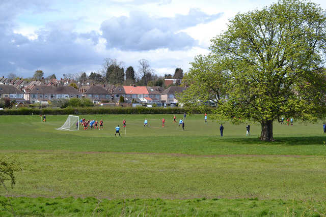
Image: © Robin Stott Taken: 30 Apr 2016
Spot the ball! The near houses are in Ashington Grove: there is the suggestion of a protective floodbank on the map. This land is almost certainly floodplain. Let's hope the horse chestnut does not suffer the same fate as this: Image
Images are licensed for reuse under creativecommons.org/licenses/by-sa/2.0
Image Location
Latitude
52.383489
Longitude
-1.477948