Entrance to footpath PHA 29 and Mount Pleasant farm from A431 road
Introduction
The photograph on this page of Entrance to footpath PHA 29 and Mount Pleasant farm from A431 road by PJK as part of the Geograph project.
The Geograph project started in 2005 with the aim of publishing, organising and preserving representative images for every square kilometre of Great Britain, Ireland and the Isle of Man.

There are currently over 7.5m images from over 14,400 individuals and you can help contribute to the project by visiting https://www.geograph.org.uk
Entrance to footpath PHA 29 and Mount Pleasant farm from A431 road
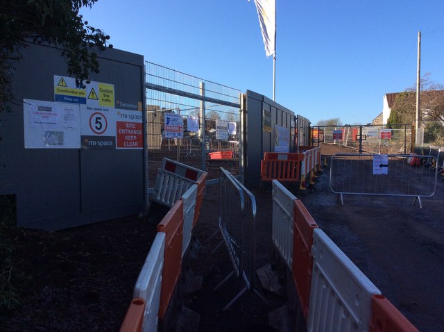
Image: © PJK Taken: 2 Jan 2017
Temporary closure of footpath with map of alternative route whilst Mount Pleasant farm is developed for housing
Images are licensed for reuse under creativecommons.org/licenses/by-sa/2.0
Image Location
Latitude
51.440804
Longitude
-2.498049