A68, Redesdale
Introduction
The photograph on this page of A68, Redesdale by Richard Webb as part of the Geograph project.
The Geograph project started in 2005 with the aim of publishing, organising and preserving representative images for every square kilometre of Great Britain, Ireland and the Isle of Man.

There are currently over 7.5m images from over 14,400 individuals and you can help contribute to the project by visiting https://www.geograph.org.uk
A68, Redesdale
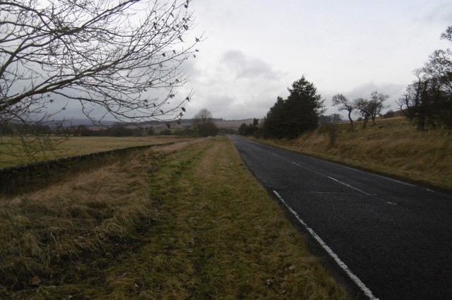
Image: © Richard Webb Taken: 30 Dec 2016
Passing Burdhopecrag - the wide verge has been used as a quadbike track.
Images are licensed for reuse under creativecommons.org/licenses/by-sa/2.0
Image Location


Leaflet Map data © OpenStreetMap
Latitude
55.285142
Longitude
-2.290135