OS benchmark - Water Orton, Attleborough Farm
Introduction
The photograph on this page of OS benchmark - Water Orton, Attleborough Farm by Richard Law as part of the Geograph project.
The Geograph project started in 2005 with the aim of publishing, organising and preserving representative images for every square kilometre of Great Britain, Ireland and the Isle of Man.

There are currently over 7.5m images from over 14,400 individuals and you can help contribute to the project by visiting https://www.geograph.org.uk
OS benchmark - Water Orton, Attleborough Farm
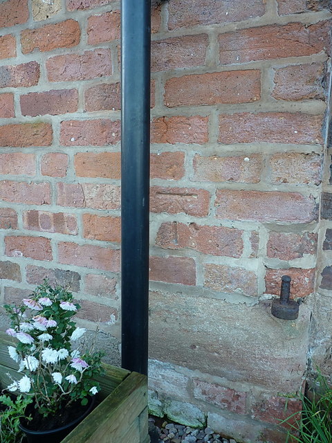
Image: © Richard Law Taken: 20 Dec 2016
An OS cutmark on one of the converted barns at Attleboro(ugh) Farm; most recently levelled in 1965 at 95.893m above Ordnance Datum Newlyn, but it's been there a lot longer than that, as it is marked on maps from the 1900s.
Images are licensed for reuse under creativecommons.org/licenses/by-sa/2.0
Image Location
Latitude
52.50919
Longitude
-1.74369