Bridleway towards West Ilkerton
Introduction
The photograph on this page of Bridleway towards West Ilkerton by Bill Boaden as part of the Geograph project.
The Geograph project started in 2005 with the aim of publishing, organising and preserving representative images for every square kilometre of Great Britain, Ireland and the Isle of Man.

There are currently over 7.5m images from over 14,400 individuals and you can help contribute to the project by visiting https://www.geograph.org.uk
Bridleway towards West Ilkerton
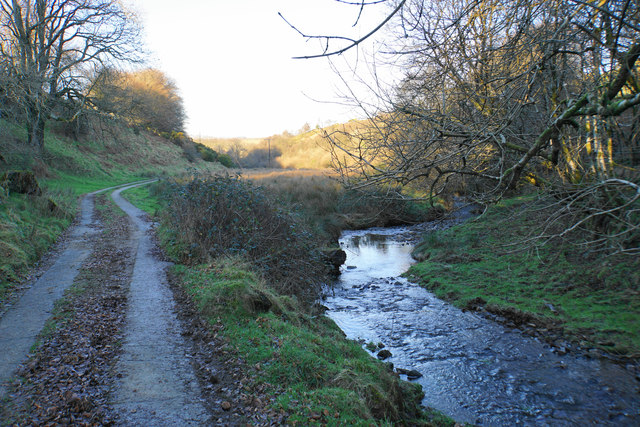
Image: © Bill Boaden Taken: 28 Dec 2016
This is the former access to Woolhanger Farm. It gets quite muddy further on.
Images are licensed for reuse under creativecommons.org/licenses/by-sa/2.0
Image Location
Latitude
51.196327
Longitude
-3.861198