Track up to Woolhanger Farm
Introduction
The photograph on this page of Track up to Woolhanger Farm by Bill Boaden as part of the Geograph project.
The Geograph project started in 2005 with the aim of publishing, organising and preserving representative images for every square kilometre of Great Britain, Ireland and the Isle of Man.

There are currently over 7.5m images from over 14,400 individuals and you can help contribute to the project by visiting https://www.geograph.org.uk
Track up to Woolhanger Farm
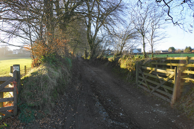
Image: © Bill Boaden Taken: 28 Dec 2016
Part of a bridleway connecting Thornworthy with Martinhoe.
Images are licensed for reuse under creativecommons.org/licenses/by-sa/2.0
Image Location
Latitude
51.193622
Longitude
-3.861661