Bitterne Park School
Introduction
The photograph on this page of Bitterne Park School by Mike Faherty as part of the Geograph project.
The Geograph project started in 2005 with the aim of publishing, organising and preserving representative images for every square kilometre of Great Britain, Ireland and the Isle of Man.

There are currently over 7.5m images from over 14,400 individuals and you can help contribute to the project by visiting https://www.geograph.org.uk
Bitterne Park School
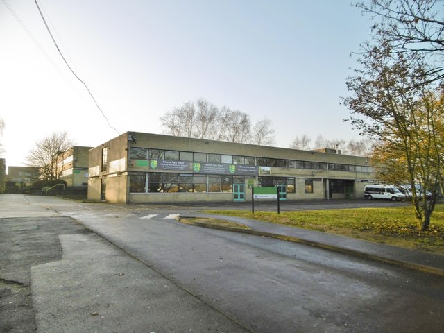
Image: © Mike Faherty Taken: 31 Dec 2016
A secondary school on an extensive site between Dimond and Copsewood Roads: https://en.wikipedia.org/wiki/Bitterne_Park_School (the school website appears to be currently down).
Images are licensed for reuse under creativecommons.org/licenses/by-sa/2.0
Image Location
Latitude
50.930315
Longitude
-1.368869