Service road for houses in Archibald Road and Athelstan Road
Introduction
The photograph on this page of Service road for houses in Archibald Road and Athelstan Road by David Smith as part of the Geograph project.
The Geograph project started in 2005 with the aim of publishing, organising and preserving representative images for every square kilometre of Great Britain, Ireland and the Isle of Man.

There are currently over 7.5m images from over 14,400 individuals and you can help contribute to the project by visiting https://www.geograph.org.uk
Service road for houses in Archibald Road and Athelstan Road
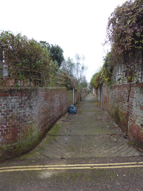
Image: © David Smith Taken: 31 Dec 2016
A wide service road for the houses which date from the early 20th century
Images are licensed for reuse under creativecommons.org/licenses/by-sa/2.0
Image Location
Latitude
50.723965
Longitude
-3.522922