Development site on east side of Kornwestheim Way
Introduction
The photograph on this page of Development site on east side of Kornwestheim Way by Peter Facey as part of the Geograph project.
The Geograph project started in 2005 with the aim of publishing, organising and preserving representative images for every square kilometre of Great Britain, Ireland and the Isle of Man.

There are currently over 7.5m images from over 14,400 individuals and you can help contribute to the project by visiting https://www.geograph.org.uk
Development site on east side of Kornwestheim Way
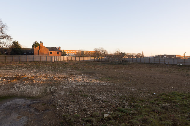
Image: © Peter Facey Taken: 29 Dec 2016
Formerly Image . The council moved from here to a more central location on the corner of Romsey Road and Station Hill.
Images are licensed for reuse under creativecommons.org/licenses/by-sa/2.0
Image Location
Latitude
50.971694
Longitude
-1.3713