Site for housing development beside Woodside Avenue
Introduction
The photograph on this page of Site for housing development beside Woodside Avenue by Peter Facey as part of the Geograph project.
The Geograph project started in 2005 with the aim of publishing, organising and preserving representative images for every square kilometre of Great Britain, Ireland and the Isle of Man.

There are currently over 7.5m images from over 14,400 individuals and you can help contribute to the project by visiting https://www.geograph.org.uk
Site for housing development beside Woodside Avenue
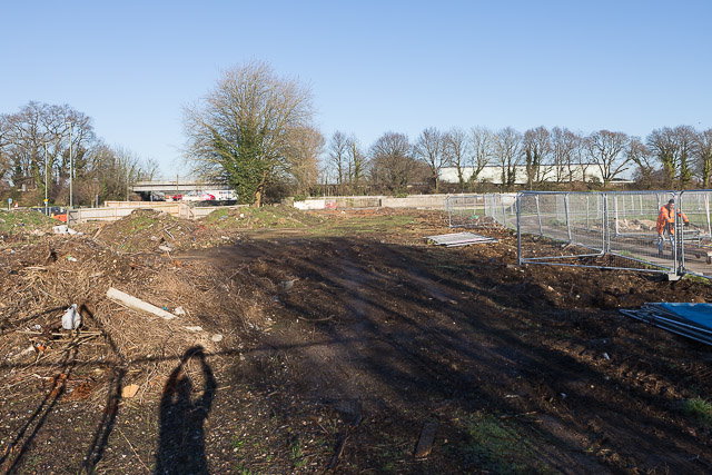
Image: © Peter Facey Taken: 29 Dec 2016
This site has recently been cleared. In the distance a recently-closed Household Waste Recycling Centre. Off-picture right the allotments.
Images are licensed for reuse under creativecommons.org/licenses/by-sa/2.0
Image Location
Latitude
50.973647
Longitude
-1.366716