Rusty roof building in Drybrook
Introduction
The photograph on this page of Rusty roof building in Drybrook by Jaggery as part of the Geograph project.
The Geograph project started in 2005 with the aim of publishing, organising and preserving representative images for every square kilometre of Great Britain, Ireland and the Isle of Man.

There are currently over 7.5m images from over 14,400 individuals and you can help contribute to the project by visiting https://www.geograph.org.uk
Rusty roof building in Drybrook
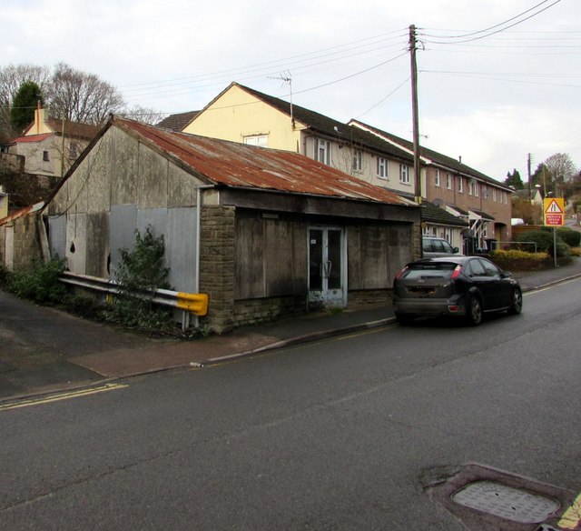
Image: © Jaggery Taken: 11 Dec 2016
Former shop or other business premises viewed across Hawthorn Road in December 2016.
Images are licensed for reuse under creativecommons.org/licenses/by-sa/2.0
Image Location
Latitude
51.855762
Longitude
-2.516703