Council houses, Jameston
Introduction
The photograph on this page of Council houses, Jameston by Jonathan Billinger as part of the Geograph project.
The Geograph project started in 2005 with the aim of publishing, organising and preserving representative images for every square kilometre of Great Britain, Ireland and the Isle of Man.

There are currently over 7.5m images from over 14,400 individuals and you can help contribute to the project by visiting https://www.geograph.org.uk
Council houses, Jameston
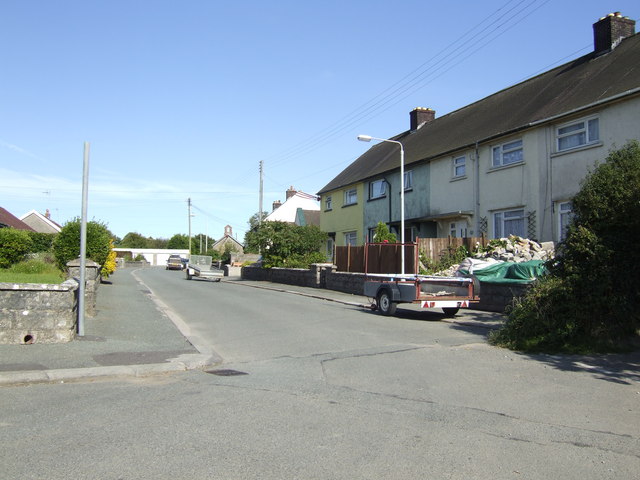
Image: © Jonathan Billinger Taken: 9 Aug 2007
The gable end of the ex-chapel (minus bell) can be seen at the end of the street.
Images are licensed for reuse under creativecommons.org/licenses/by-sa/2.0
Image Location
Latitude
51.655101
Longitude
-4.811473