Top of Leacroft Avenue, Bushbury Hill estate
Introduction
The photograph on this page of Top of Leacroft Avenue, Bushbury Hill estate by Richard Vince as part of the Geograph project.
The Geograph project started in 2005 with the aim of publishing, organising and preserving representative images for every square kilometre of Great Britain, Ireland and the Isle of Man.

There are currently over 7.5m images from over 14,400 individuals and you can help contribute to the project by visiting https://www.geograph.org.uk
Top of Leacroft Avenue, Bushbury Hill estate
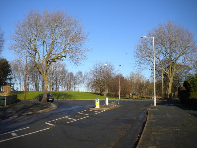
Image: © Richard Vince Taken: 28 Dec 2016
For many years, this junction, where Leacroft Avenue (foreground) meets Old Fallings Lane, was used by buses to turn round. The Bushbury Hill trolleybus service (latterly numbered 3) approached via Leacroft Avenue, though by the time buses stopped turning here, the equivalent service (by then numbered 598) had been rerouted to approach via Old Fallings Lane. The current route linking Bushbury Hill with Wolverhampton city centre, service 2, operates a one way loop around the estate and thus no longer needs to turn here.
Images are licensed for reuse under creativecommons.org/licenses/by-sa/2.0
Image Location
Latitude
52.616529
Longitude
-2.111174