Footpath to Blaencilgoed Quarries
Introduction
The photograph on this page of Footpath to Blaencilgoed Quarries by Jonathan Billinger as part of the Geograph project.
The Geograph project started in 2005 with the aim of publishing, organising and preserving representative images for every square kilometre of Great Britain, Ireland and the Isle of Man.

There are currently over 7.5m images from over 14,400 individuals and you can help contribute to the project by visiting https://www.geograph.org.uk
Footpath to Blaencilgoed Quarries
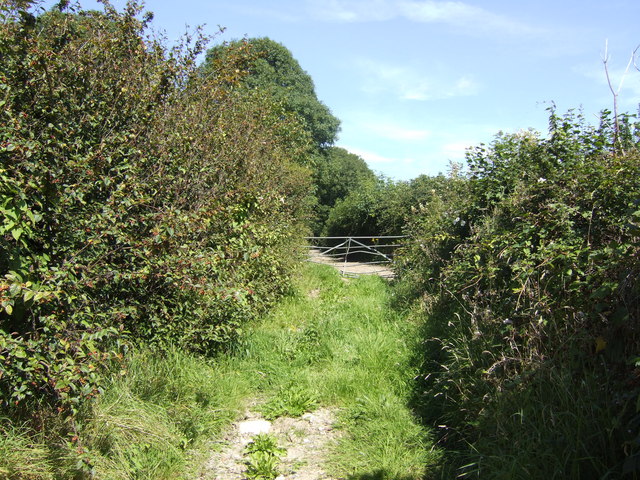
Image: © Jonathan Billinger Taken: 9 Aug 2007
This forms part of the Landsker Borderlands LDF; a circular trail based on Whitland which takes in the countryside of east Carmarthenshire and west Pembrokeshire.
Images are licensed for reuse under creativecommons.org/licenses/by-sa/2.0
Image Location
Latitude
51.763405
Longitude
-4.679786