Path towards Hill Top
Introduction
The photograph on this page of Path towards Hill Top by E Gammie as part of the Geograph project.
The Geograph project started in 2005 with the aim of publishing, organising and preserving representative images for every square kilometre of Great Britain, Ireland and the Isle of Man.

There are currently over 7.5m images from over 14,400 individuals and you can help contribute to the project by visiting https://www.geograph.org.uk
Path towards Hill Top
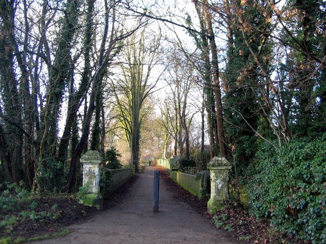
Image: © E Gammie Taken: 30 Dec 2016
Seen from Quarry Hill Lane. Old maps show a large house named Hill Top - these, presumably, were its entrance gate-posts.
Images are licensed for reuse under creativecommons.org/licenses/by-sa/2.0
Image Location
Latitude
53.934328
Longitude
-1.393148