Kirkton of Maryculter Parish Church
Introduction
The photograph on this page of Kirkton of Maryculter Parish Church by Bill Harrison as part of the Geograph project.
The Geograph project started in 2005 with the aim of publishing, organising and preserving representative images for every square kilometre of Great Britain, Ireland and the Isle of Man.

There are currently over 7.5m images from over 14,400 individuals and you can help contribute to the project by visiting https://www.geograph.org.uk
Kirkton of Maryculter Parish Church
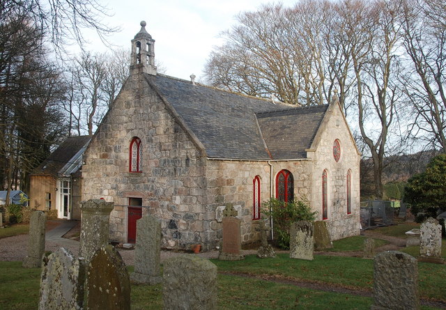
Image: © Bill Harrison Taken: 29 Dec 2016
The original building from 1786 with the south and north aisles added 1882. The communion table inside is said to incorporate a font. B-listed: http://portal.historicenvironment.scot/designation/LB16486 .
Images are licensed for reuse under creativecommons.org/licenses/by-sa/2.0
Image Location
Latitude
57.08394
Longitude
-2.237721