Sabden
Introduction
The photograph on this page of Sabden by Ian Taylor as part of the Geograph project.
The Geograph project started in 2005 with the aim of publishing, organising and preserving representative images for every square kilometre of Great Britain, Ireland and the Isle of Man.

There are currently over 7.5m images from over 14,400 individuals and you can help contribute to the project by visiting https://www.geograph.org.uk
Sabden
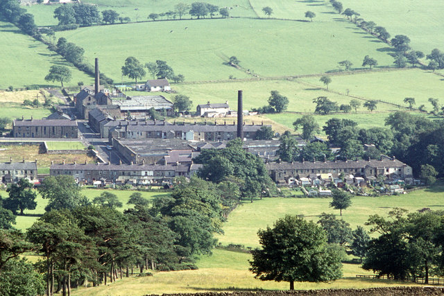
Image: © Ian Taylor Taken: Unknown
The SW side of the village, viewed from below the Nick of Pendle. Taken in July or August. The chimneys of Victoria Mill (centre) and Union Mill (left) are clearly visible. Cobdens Mill used to occupy the space to the left of Victoria Mill.
Images are licensed for reuse under creativecommons.org/licenses/by-sa/2.0
Image Location
Latitude
53.831561
Longitude
-2.342131