Canalside path, Pontywaun
Introduction
The photograph on this page of Canalside path, Pontywaun by Jaggery as part of the Geograph project.
The Geograph project started in 2005 with the aim of publishing, organising and preserving representative images for every square kilometre of Great Britain, Ireland and the Isle of Man.

There are currently over 7.5m images from over 14,400 individuals and you can help contribute to the project by visiting https://www.geograph.org.uk
Canalside path, Pontywaun
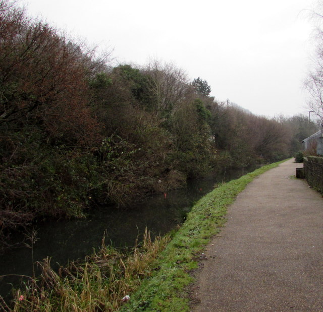
Image: © Jaggery Taken: 17 Dec 2016
Footpath and cycle route above the disused Crumlin Arm of the Monmouthshire & Brecon canal.
Images are licensed for reuse under creativecommons.org/licenses/by-sa/2.0
Image Location
Latitude
51.626076
Longitude
-3.127483