Lane to Challaborough
Introduction
The photograph on this page of Lane to Challaborough by Stephen McKay as part of the Geograph project.
The Geograph project started in 2005 with the aim of publishing, organising and preserving representative images for every square kilometre of Great Britain, Ireland and the Isle of Man.

There are currently over 7.5m images from over 14,400 individuals and you can help contribute to the project by visiting https://www.geograph.org.uk
Lane to Challaborough
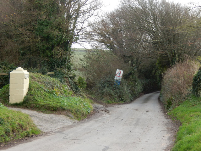
Image: © Stephen McKay Taken: 24 Dec 2016
The lane leading down to Challaborough is very narrow - not much of a problem in December but it can get congested in high season.
Images are licensed for reuse under creativecommons.org/licenses/by-sa/2.0
Image Location
Latitude
50.29507
Longitude
-3.89529