High Street, Crosskeys
Introduction
The photograph on this page of High Street, Crosskeys by Jaggery as part of the Geograph project.
The Geograph project started in 2005 with the aim of publishing, organising and preserving representative images for every square kilometre of Great Britain, Ireland and the Isle of Man.

There are currently over 7.5m images from over 14,400 individuals and you can help contribute to the project by visiting https://www.geograph.org.uk
High Street, Crosskeys
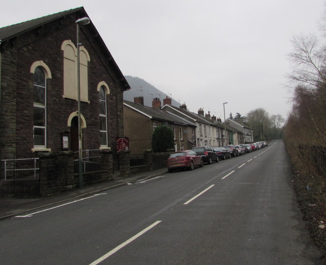
Image: © Jaggery Taken: 17 Dec 2016
The B4591 High Street ascends towards Pontywaun. All the buildings are on the west side of this part of High Street. Crosskeys Methodist Church http://www.geograph.org.uk/photo/2016513 is on the left.
Images are licensed for reuse under creativecommons.org/licenses/by-sa/2.0
Image Location
Latitude
51.625442
Longitude
-3.1279