Pasture near Brynhyfryd
Introduction
The photograph on this page of Pasture near Brynhyfryd by Penny Mayes as part of the Geograph project.
The Geograph project started in 2005 with the aim of publishing, organising and preserving representative images for every square kilometre of Great Britain, Ireland and the Isle of Man.

There are currently over 7.5m images from over 14,400 individuals and you can help contribute to the project by visiting https://www.geograph.org.uk
Pasture near Brynhyfryd
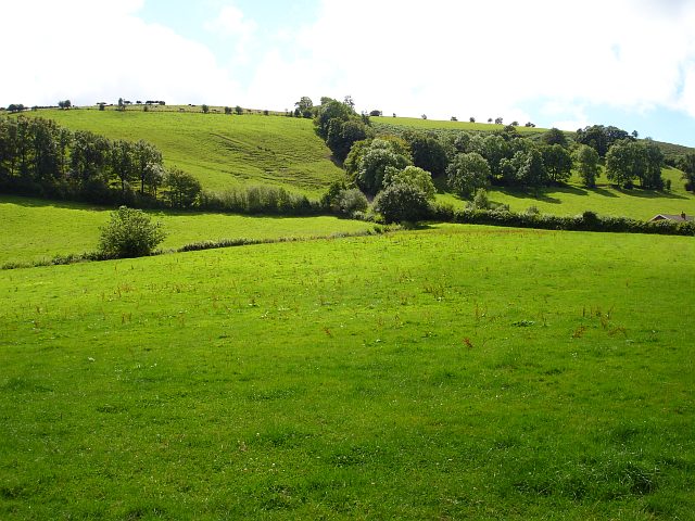
Image: © Penny Mayes Taken: 12 Aug 2007
A brook runs across between the fields, marked by the trees on the left and line of bushes. The ridge follows the 240 metre contour.
Images are licensed for reuse under creativecommons.org/licenses/by-sa/2.0
Image Location
Latitude
52.641213
Longitude
-3.280514