Firhall Bridge
Introduction
The photograph on this page of Firhall Bridge by valenta as part of the Geograph project.
The Geograph project started in 2005 with the aim of publishing, organising and preserving representative images for every square kilometre of Great Britain, Ireland and the Isle of Man.

There are currently over 7.5m images from over 14,400 individuals and you can help contribute to the project by visiting https://www.geograph.org.uk
Firhall Bridge
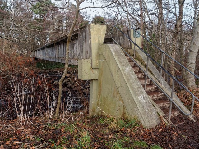
Image: © valenta Taken: 15 Dec 2016
The substantial Firhall bridge over the River Nairn appears to have been built mainly to carry a water main over the river.
Images are licensed for reuse under creativecommons.org/licenses/by-sa/2.0
Image Location


Leaflet Map data © OpenStreetMap
Latitude
57.57192
Longitude
-3.8699