Aspley Hill at Woburn Sands
Introduction
The photograph on this page of Aspley Hill at Woburn Sands by Robert Eva as part of the Geograph project.
The Geograph project started in 2005 with the aim of publishing, organising and preserving representative images for every square kilometre of Great Britain, Ireland and the Isle of Man.

There are currently over 7.5m images from over 14,400 individuals and you can help contribute to the project by visiting https://www.geograph.org.uk
Aspley Hill at Woburn Sands
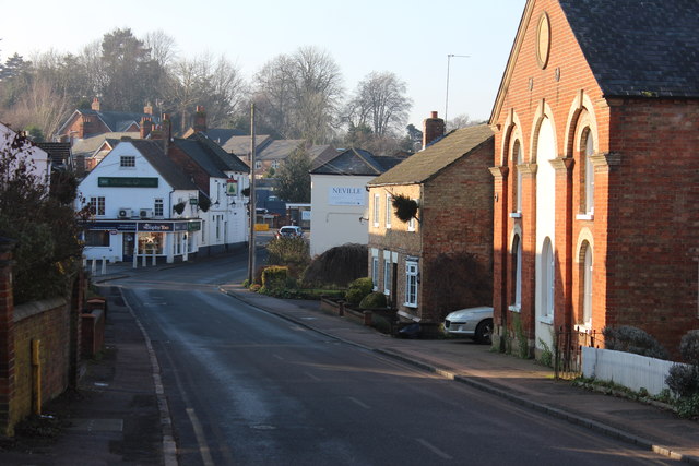
Image: © Robert Eva Taken: 20 Dec 2016
Looking down the hill into the village. The Fir Tree Inn is ahead and on the right is a converted chapel.
Images are licensed for reuse under creativecommons.org/licenses/by-sa/2.0
Image Location
Latitude
52.010228
Longitude
-0.645405