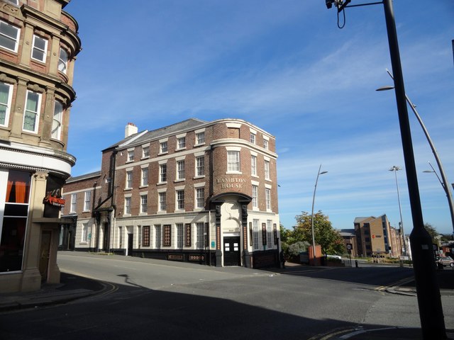
Lampton House, Sunderland Street
Introduction
The photograph on this page of Lampton House, Sunderland Street by Robert Graham as part of the Geograph project.
The Geograph project started in 2005 with the aim of publishing, organising and preserving representative images for every square kilometre of Great Britain, Ireland and the Isle of Man.
There are currently over 7.5m images from over 14,400 individuals and you can help contribute to the project by visiting https://www.geograph.org.uk

Image: © Robert Graham Taken: 3 Oct 2016
On the corner of Sunderland Street and High Street West, this is mainly early C19, although parts of the building are C18. Originally built as a town house for the Lampton family of local landowners, it became first a coaching Inn and then The Bridge Hotel and Vaults. The original name can be seen below the windows on the left elevation. After the landlord was murdered in 1998, the Hotel closed and was later converted to offices, as it is today. It was renamed after the original owners.

